
Seqk

Seqk

Patrice Bucher

Patrice Bucher

Office de Tourisme et du Commerce du Pays de Saverne

Office de Tourisme et du Commerce du Pays de Saverne

Office de Tourisme et du Commerce du Pays de Saverne

Seqk
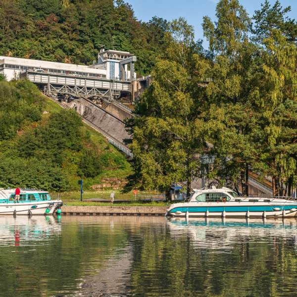
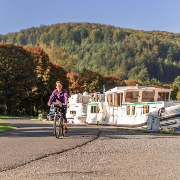
This route starts in Saverne and follows the foothills of the massif on the Alsatian side before climbing the Valsberg Pass (650 m) from the village of Obersteigen. It then descends on the Moselle side of the massif, crosses the village of La Hoube (the highest-altitude village in Moselle), and offers beautiful viewpoints over the Rocher de Dabo before dropping down into the Zorn Valley to the inclined plane of Saint-Louis/Arzviller. The return to Saverne is pleasantly easy along the towpath running beside the Marne–Rhine Canal. The route can also start in Lutzelbourg.
Practical information
Fitness / outdoor trails from LUTZELBOURG, mode of transport / activity : Cyclotouring, on the theme(s) : Historic, Natural, Riverside.
Features of the route
moderate
25 à 50 km
Loop
Distance in kms : 46
Difference in altitude : 570
Duration of the course : 03:15
Altimeter profile
Route line
The course
Contact us
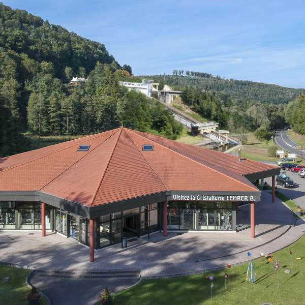
Boucle vélo À la découverte du Plan Incliné
- tourisme@paysdephalsbourg.fr
- 03 87 24 42 42
- 57820 LUTZELBOURG