
Damien Calcaterra

Alex Fabing

C. Turpin / Sarreguemines Tourisme

Alex Fabing
Departing from Sarralbe, famous for its Saint-Martin church nicknamed the Cathedral of the Saar, whose 2 Gothic spires rise 70 meters above the ground, the route continues through the ponds to Puttelange aux-Lacs, in the direction of Sarreguemines.
Practical information
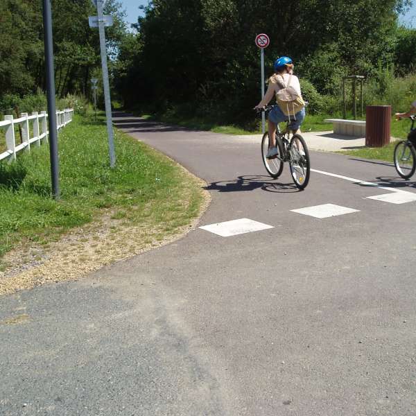
Fitness / outdoor trails from SARRALBE, mode of transport / activity : Cyclotouring, on the theme(s) : Natural.
Created between 1935 and 1940, the defensive sector of the Saar, more commonly known as the aquatic Maginot Line, uses natural rivers and streams in flood-prone areas. The Saar gap was designed to bridge the gap between two fortified regions: Metz and Lauter.
This 33 km escape through the heart of the aquatic Maginot Line will delight cyclists seeking nature, all the way to Sarreguemines. The return to Sarralbe can be made via Sarreguemines and the Saar Canal.
Distance: 33 km
Duration: 2 hours 30 minutes (A variant of the route connects Sarralbe to Hoste in 25 km)
Total Elevation Gain: 350 m
Start: Sarralbe
Difficulty: Difficult
Markings: Follow cycling signposts
Features of the route
difficult
25 à 50 km
Itinerant
Distance in kms : 33
Difference in altitude : 350
Duration of the course : 02:30
Altimeter profile
Route line
The course
Contact us
Lake Route from Sarralbe to Sarreguemines
- contact@sarreguemines-tourisme.com
- 03 87 98 80 81
- 57430 SARRALBE