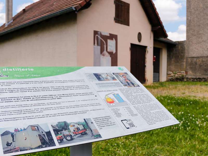
CTurpin_SarregueminesTourisme
On site, you will find the trail under the following name: LA CHAUSSEE DE BOMBELLES
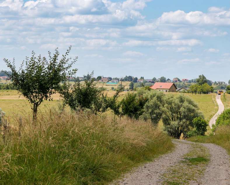
Two walking trails partially converge to offer two hiking routes in the heart of the Lorraine countryside, one of 4.9 km and the other of 11.4 km. Discover this second route, “The former Bombelles road” (La Chaussée de Bombelles"), with two starting points in Woelfling-les-Sarreguemines and Wiesviller, a bit further south, connected by a pleasant link.
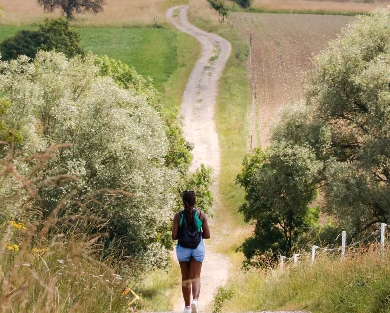
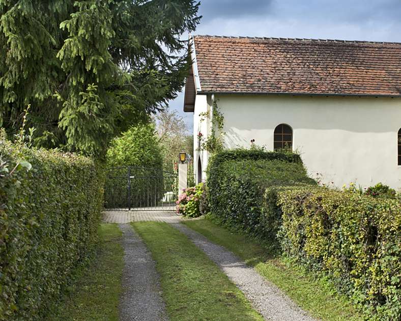
After passing through the village of Woelfling, head towards the Saint-Hermès Chapel via the Bliesbruck forest. Its presence has been attested since at least the 17th century, and it remains a pilgrimage site during the summer months. Along the way, you will follow a long, straight path—an ancient road that once led from Sarreguemines to Bitche. In the 18th century, it was part of a strategic route established by the Duke of Bombelles, governor of the town of Bitche, to connect the fortified city of Sarrelouis to the citadel of Bitche.
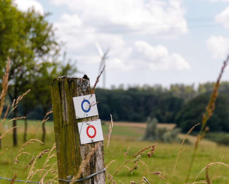
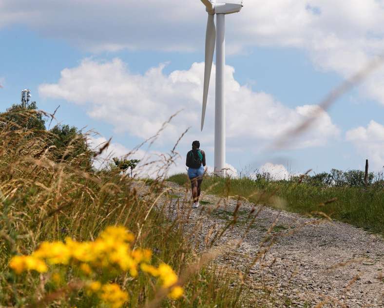
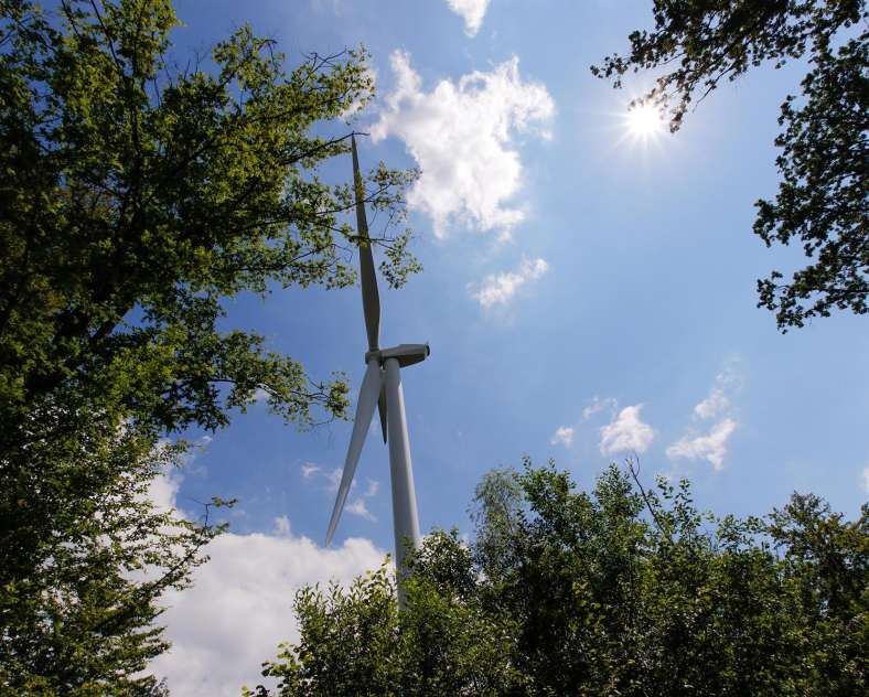
On the way, you will already see several large wind turbines in the surrounding fields. As you approach them, you will be impressed by their imposing structure and feel very small compared to them.
The next part of your route takes you into the Schorwald to the Tiefe Pfuhl. Several legends surround this pond. They all speak of a lord who supposedly disappeared there with his carriage after ordering his coachman to run over a child who was blocking his way. The place still holds a particular atmosphere.
Then head towards Wiesviller, moving through the fields. Several wind turbines once again dominate the landscape. For a change of scenery, a short link will lead you to the “At the Foot of the Wind Turbines” (Au pied des Éoliennes) path before reaching the village. And the loop is complete!
- Alternative route: you also have the option of taking a shorter route, “At the Foot of the Wind Turbines” (Au pied des Éoliennes - 4.9 km). Four connections with this route allow you to make detours of your choice, offering flexibility and variety for your hike.
- Connections: 300 meters between the two routes in Woelfling-lès-Sarreguemines.
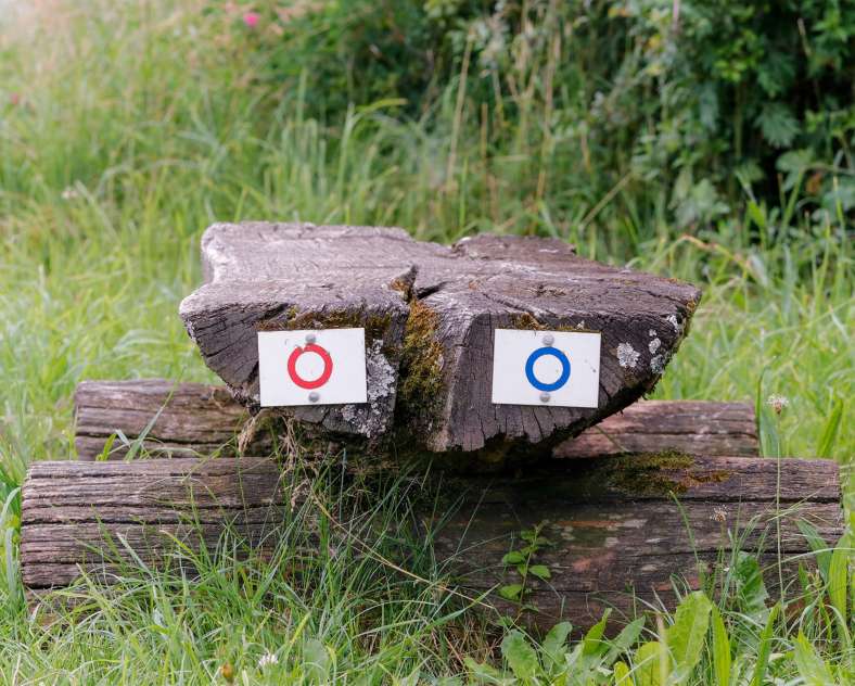
- Trail-Marking: red ring
- Geographical area: Green escapes at the foot of the wind turbines
- Starting point: Woelfling-lès-Sarreguemines > 1 impasse de la Mairie - Town Hall
Practical information
Fitness / outdoor trails from WOELFLING LES SARREGUEMINES, mode of transport / activity : Walking-related, on the theme(s) : Historic, Natural.
Features of the route
moderate
10 to 15 km
Loop
Distance in kms : 11,4
Duration of the course : 03:00
Altimeter profile
Route line
Visit conditions
Groups accepted on reservation
Contact us
The former Bombelles road
- contact@sarreguemines-tourisme.com
- 0387988081
- Parking de la Mairie1 Impasse de la Mairie57200 WOELFLING LES SARREGUEMINES


How to get there ?