CTurpin_SarregueminesTourisme
On site, you will find the trail under the following name: AU FIL DES ÉPOQUES
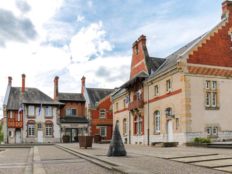
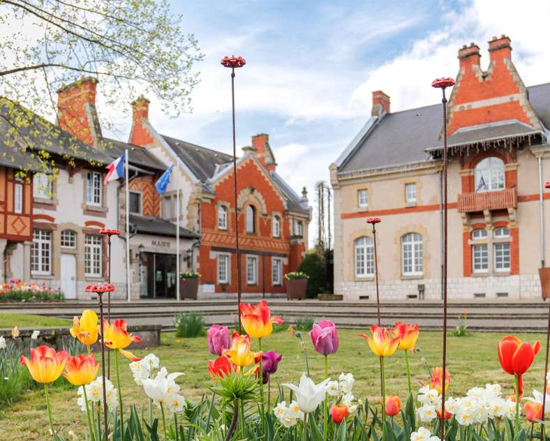
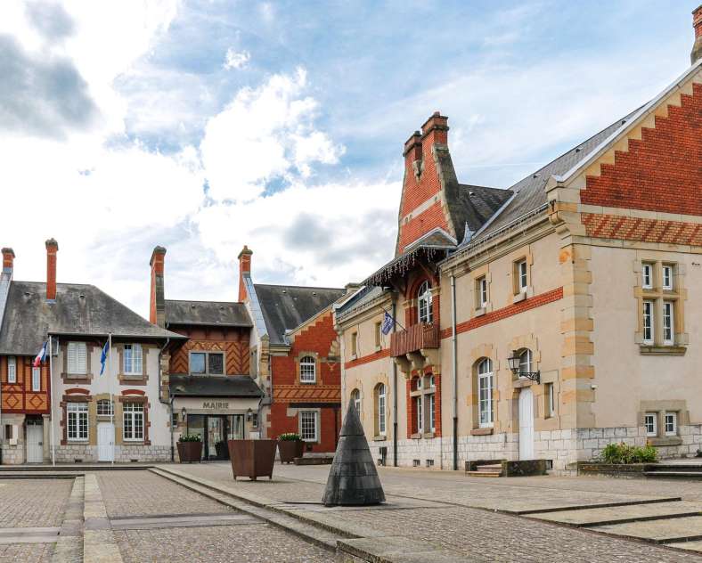
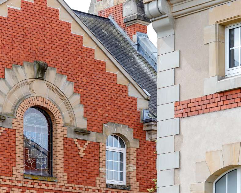
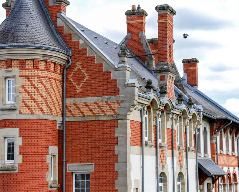
The route introduces you to several remarkable buildings in the village of Rémelfing, including the former Edouard Jaunez castle (former mayor of Sarreguemines and member of the Geiger family), which is the starting point of your journey. The castle, a true local heritage treasure dating back to 1891, has been beautifully restored.
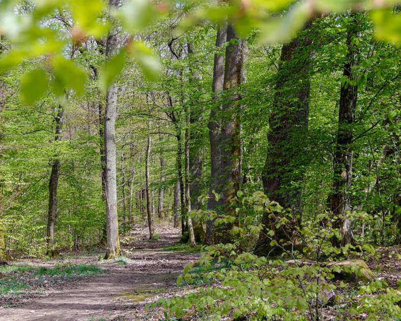
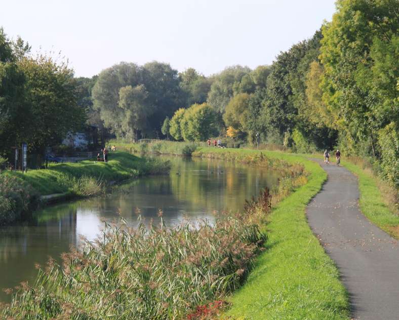
This 9.4 km loop takes you on a lovely hike, partly along the banks of the Saar River on the towpath. The trail then leads you into the forests of Honigwald, Grossbannwald, and Grand Freiwald. At the edge of the latter, you can admire two remarkable trees, the service tree and the wild service tree, by making a short detour from the main route.
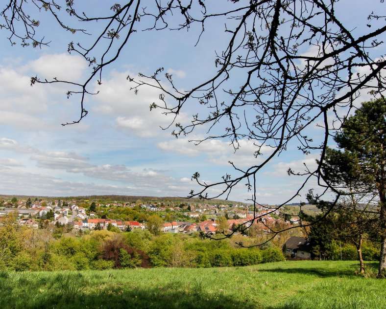
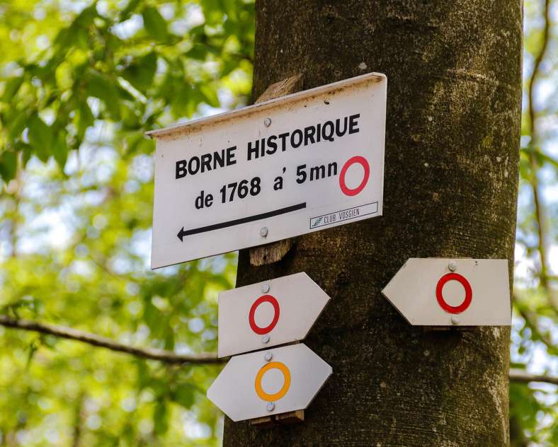
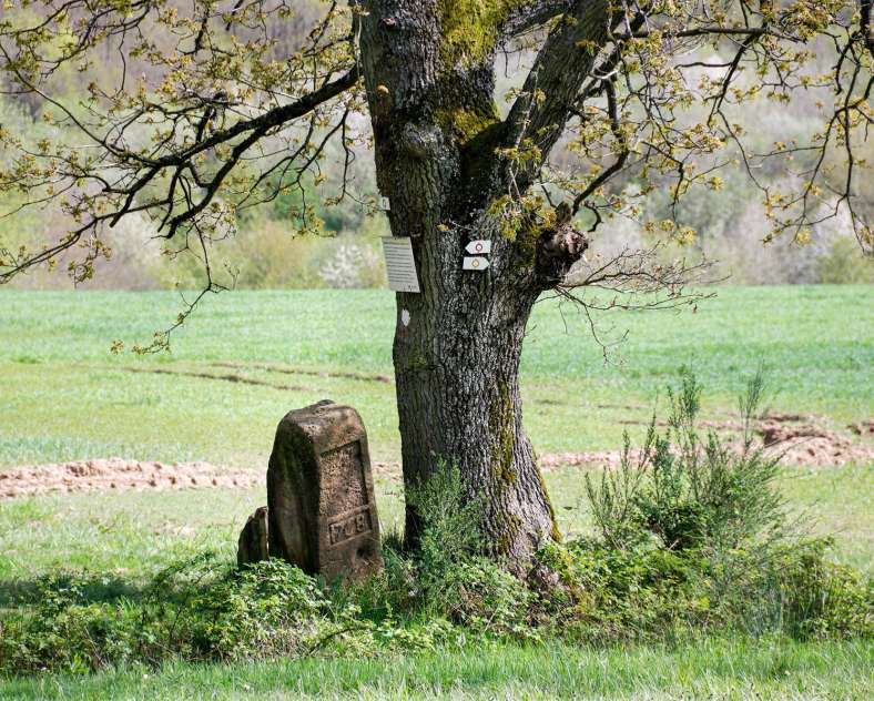
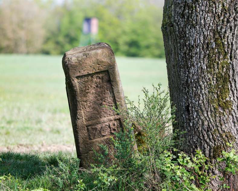
On your way, you will discover beautiful panoramas, as well as two remarkable boundary markers from 1739 and 1766 located at crossroads.
After a few kilometers, you will reach a beautiful viewpoint at two boundary markers from the 18th century, which once marked the border of the Duchy of Lorraine with the territory of the Count of Nassau-Saarbrücken.
At the end of your hike, heading towards the Rémelfing town hall, you will find a picnic area by the Saar River, ideal for a well-deserved break.
- Connections: 4 connections on the route, one 2.9 km from the towpath - Lock 25, linking to the "The Villa" route (La Villa - 3.7 km) and three others connecting to the route "In the Footsteps of the Spiritans" (Sur les traces des Spiritains - 11.2 km).
- Trail-Marking: red ring
- Geographical area: The Saar Valley, lovely detours through rivers and forests
- Starting point: Rémelfing > rue de Sarreguemines - Castle Square
Practical information
Fitness / outdoor trails from REMELFING, mode of transport / activity : Walking-related, on the theme(s) : Historic, Natural, Riverside.
Features of the route
moderate
5 to 10 km
Loop
Distance in kms : 9,4
Duration of the course : 02:30
Altimeter profile
Route line
Visit conditions
Groups accepted on reservation
Contact us
Through the Ages
- contact@sarreguemines-tourisme.com
- 0387988081
- Parking près de la Mairie1 place du Château57200 REMELFING
How to get there ?