Damien Calcaterra
On site, you will find the trail under the following name: LA BOUCLE DES PÊCHEURS
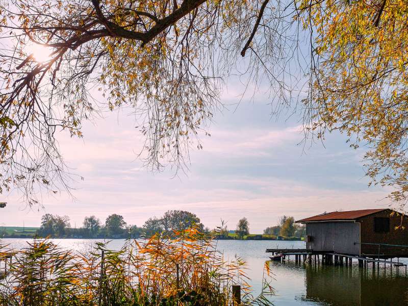
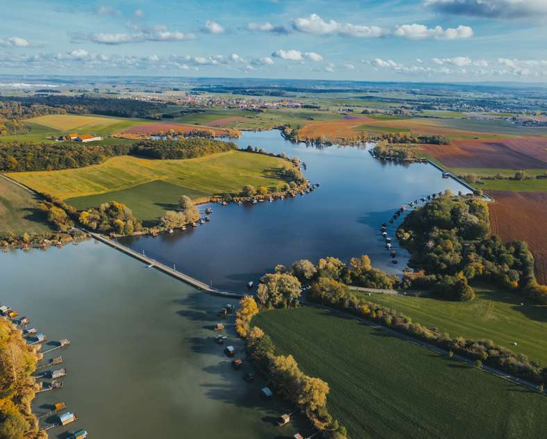
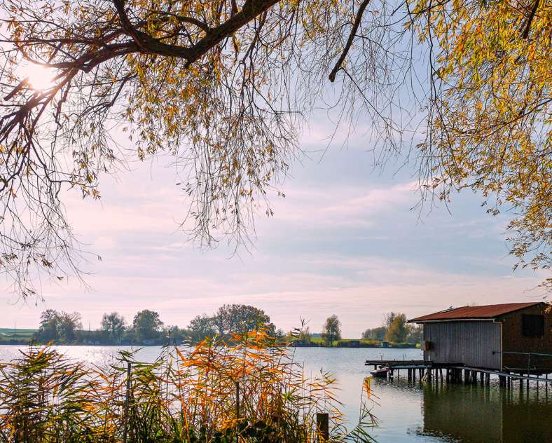
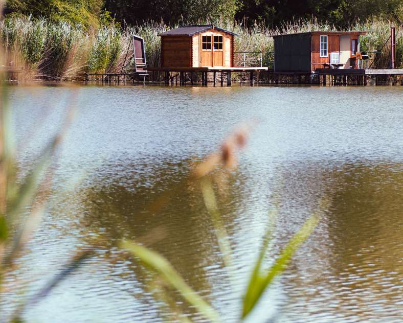
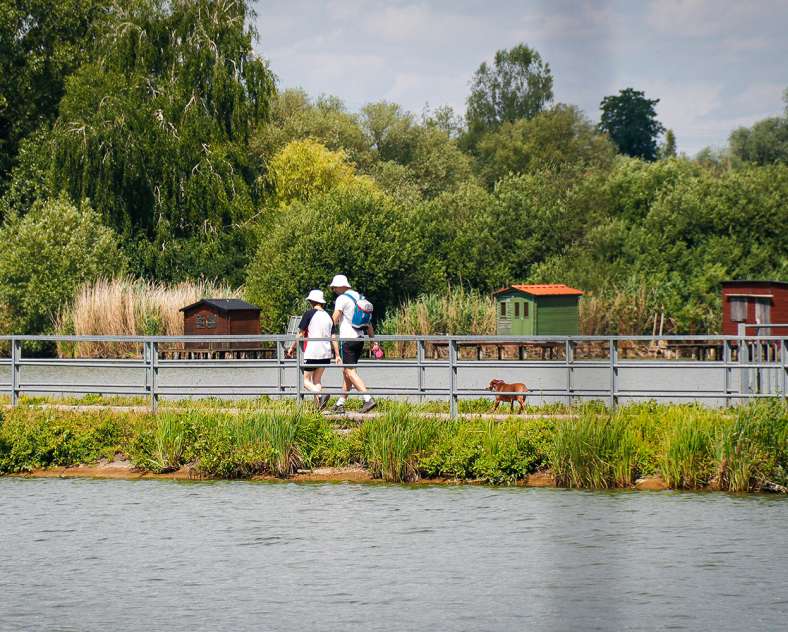
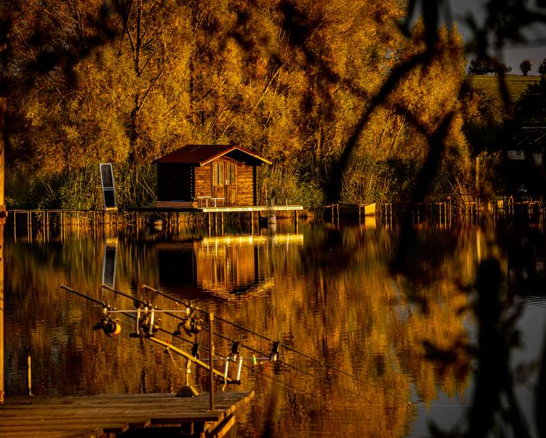
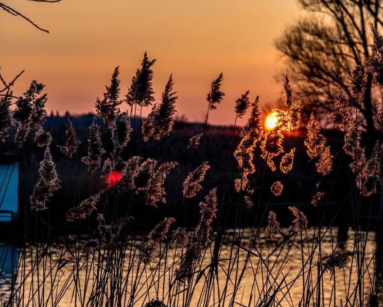
You'll head for the banks of the Welschhof pond, a vestige of the aquatic Maginot Line, built before the Second World War to act as a natural barrier. Today, this peaceful spot is a beautiful reflection of the surrounding nature and fishermen's cottages. You'll walk along the banks of this pond, rich in biodiversity, where you can observe the local wildlife or enjoy a picnic break in the shade along the well-maintained paths.
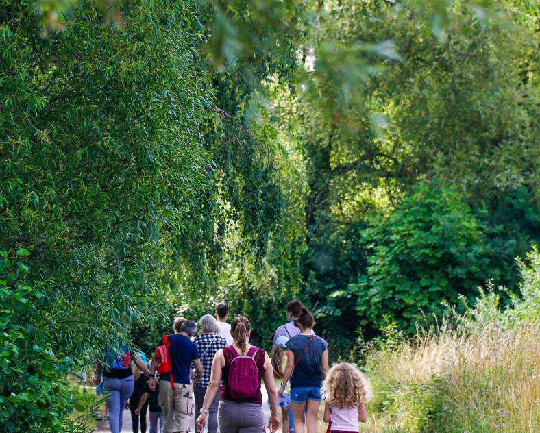
Continuing on, 'The Fischermen’s Loop' trail (La Boucle des Pêcheurs) will take you through the Puttelange forest, where the freshness of the undergrowth and the sound of birdsong will accompany you. This part of the route is ideal for recharging your batteries, with paths lined with majestic trees such as oaks, beeches and hornbeams, immersing you in a serene atmosphere.
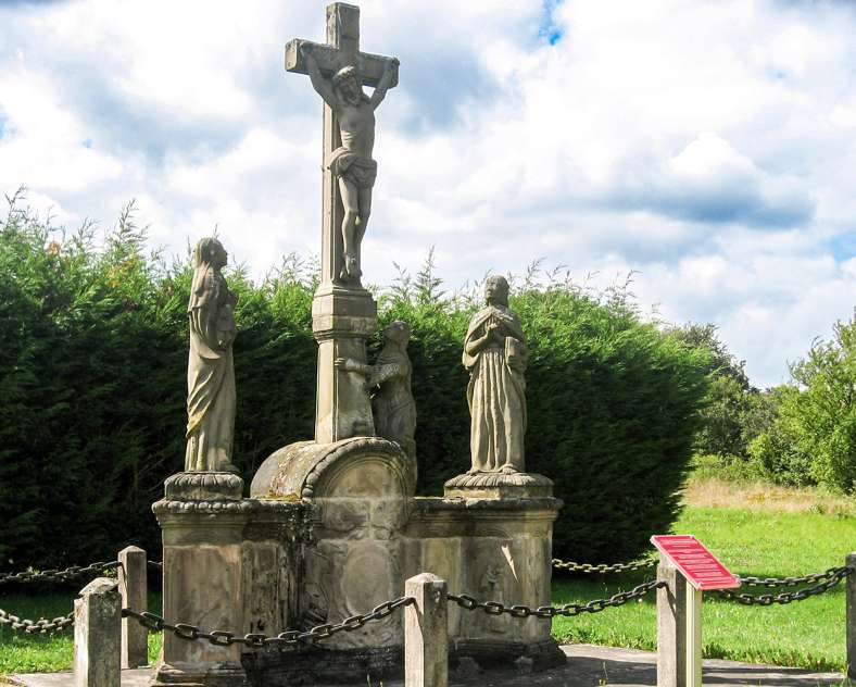
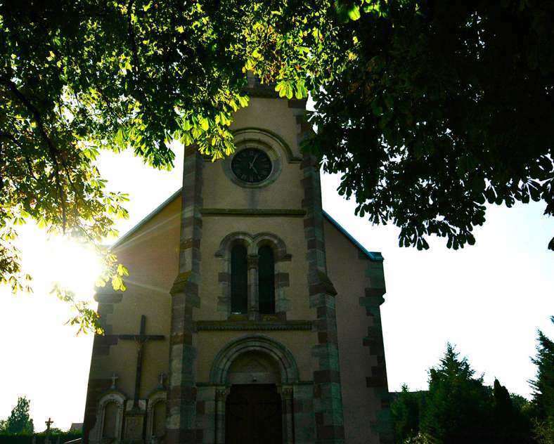
The last part of the walk takes you back to the village of Grundviller, where its 16th-century Renaissance Calvary, a listed historic monument, reveals the local heritage. Considered one of the most beautiful in the region, it makes a fine conclusion to this varied loop.
'The Fischermen’s Loop' (La Boucle des Pêcheurs) is the perfect choice for those who love exploring. Whether you're drawn to the tranquillity of the water, the enchantment of the forest, or the chance to uncover a hidden local gem, this route offers an unparalleled experience right in the heart of natural landscapes.
- Alternative route: ‘The Welschhof Pond Loop’ (Le tour de l'étang du Welschhof) follows the banks of the pond for a very pleasant family walk, away from the traffic, punctuated by small fishing huts (4.5 km).
- Connections: to the north of the loop to the ‘Path of Life and Ridges’ trail (Chemin de Vie et des Crêtes -7.6 km) at Woustviller and a short link to the west to the ‘Along the Bunkers’ trail (Au fil des Blockhaus - 5.5 km) at Puttelange-aux-Lacs.
- Trail-Marking: yellow rectangle
- Geographical area: The Blies Valley, confluences of water and history
- Starting points: Puttelange-aux-Lacs > Rue de l'Étang - Parking by the pond / Grundviller > Rue de l'Église - Saint Anne Church
Practical information
Fitness / outdoor trails from PUTTELANGE AUX LACS, mode of transport / activity : Walking-related, on the theme(s) : Riverside.
Features of the route
moderate
5 to 10 km
Loop
Distance in kms : 10
Duration of the course : 02:40
Altimeter profile
Route line
Visit conditions
Groups accepted on reservation
Contact us
The Fischermen’s Loop
- contact@sarreguemines-tourisme.com
- 0387988081
- Parking au bord de l'étang du WelschhofRue de l'Étang57510 PUTTELANGE AUX LACS

How to get there ?