
Daniel Bailly

Emmanuel Stourm 2020
Licence Open Data

Emmanuel Stourm 2020
Licence Open Data

Emmanuel Stourm 2020
Licence Open Data

Emmanuel Stourm 2020
Licence Open Data
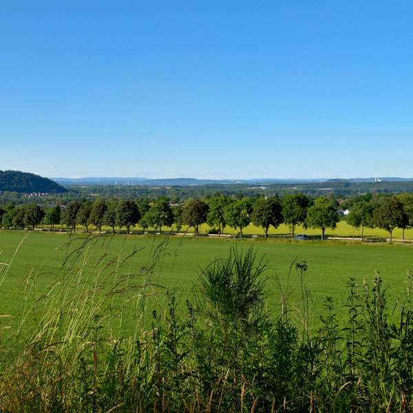
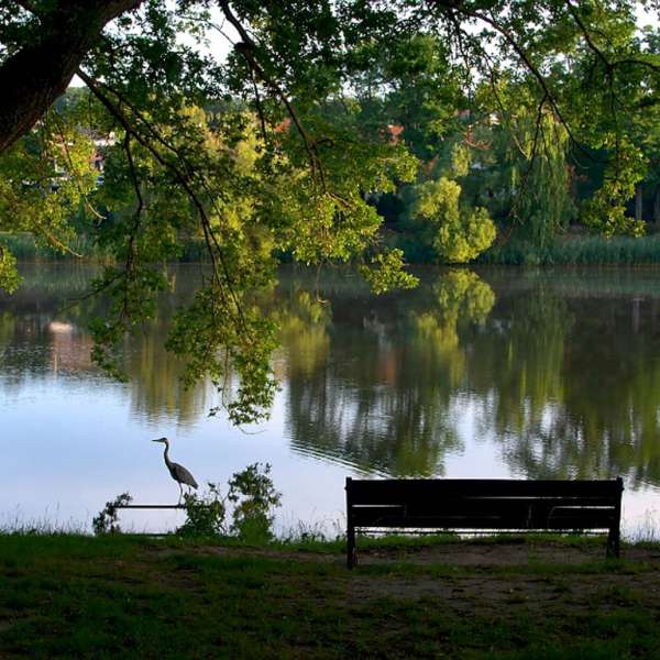
The Warndt is a land of lakes and ponds. Situated in the heart of the town, the lake of Creutzwald is a very popular place for walking, fishing and water sports. Nestled at the bottom of a preserved valley, the Warndtweiher is distinguished by its exceptional natural environment.
Practical information
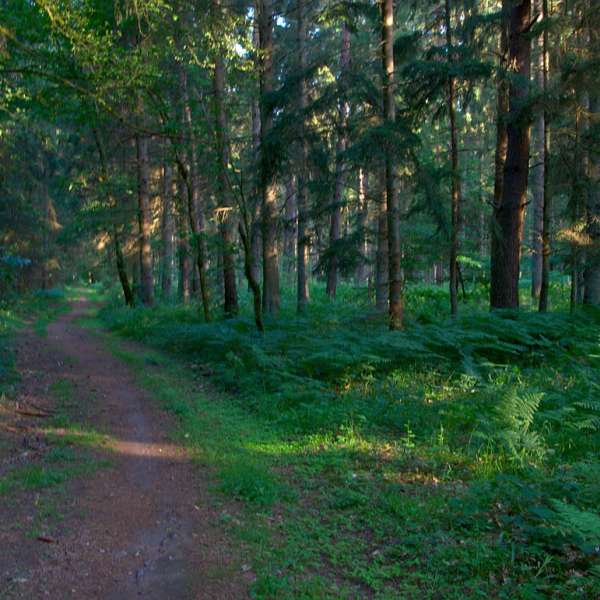
Fitness / outdoor trails from CREUTZWALD , mode of transport / activity : Walking-related , on the theme(s) : Riverside .
Features of the route
moderate
15 km and more
Loop
Distance in kms : 15,5
Duration of the course : 03:00
Route line
Visit conditions
Visits
Follow the signs: Yellow line
The course

Contact us
Ponds and lake
- contact@ccwarndt.fr
- 03 87 81 89 89
- Etang de CreutzwaldRue de la Bonne Fontaine57150 CREUTZWALD