Sarreguemines Tourisme
A cross-border hike
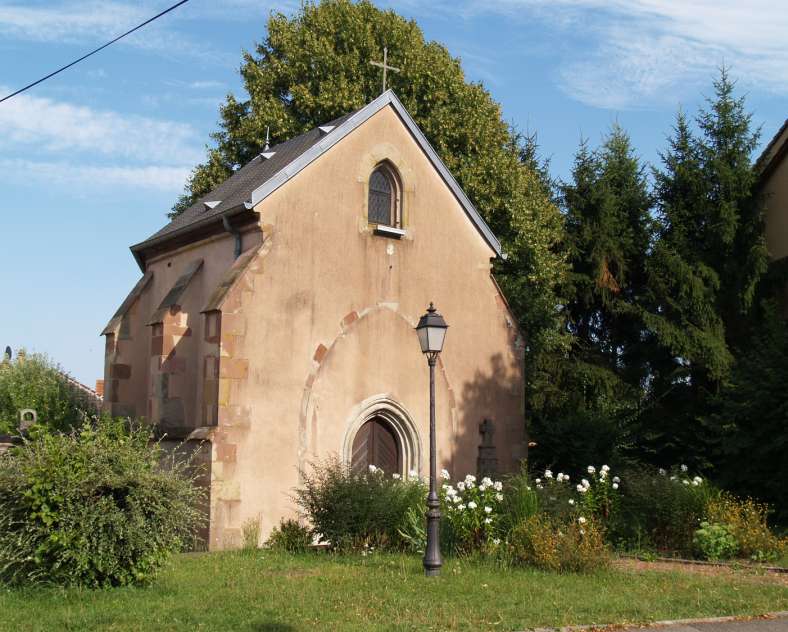
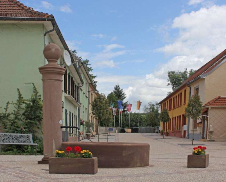
Leave from the parking lot of the Maison de Quartier de Folpersviller following the yellow disc, pass in front of the church, cross the road, enter the alley and go down the rue de l'Iris. At 80 m on your left, in the heart of a former cemetery, stands the gothic chapel of Sainte Barbe, it would be contemporary to the church of Zetting which dates from the 15th century. An old Vosges sandstone cross is leaning against the wall next to the entrance of the chapel. Then turn right and follow the rue Sainte Barbe until the last houses, then take the chemin du Bruchwies.
200 m further on, turn left along the fence of the shredding plant until you reach the edge of the Bauerwald forest. Cross the forest following the signs. From the pastures you can enjoy the beautiful view of the Bliesgau and the Folpersviller plateau.
Continue your way to the rue de la forêt, go up to the right passing in front of the old Auberge du Parkways, cross the railway bridge and then turn to the left along the embankment of the S.N.C.F. track.
At the end of the road turn right onto the Cobachweg. After 500 m turn left and go up a rural road which ends on a communal road that you have to follow on the right until the bridge of the railway of the old Sarreguemines-Bitche line.
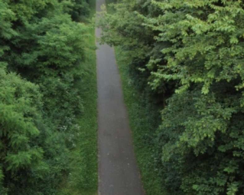
Before the bridge, follow the path that goes along the railway for 900m, then cross the Maywald on the left.
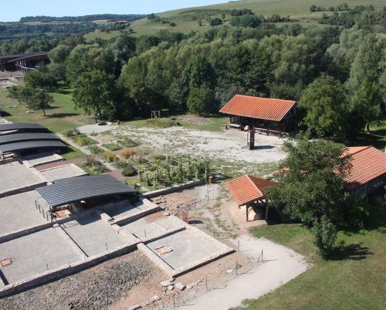
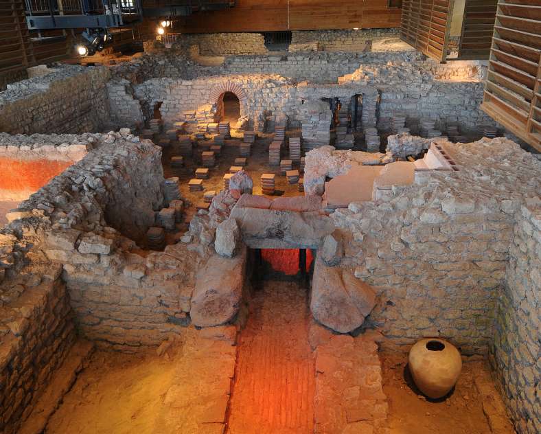
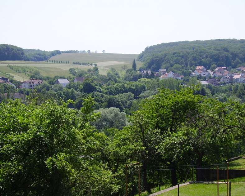
At the end of the wood, enjoy the panorama on the Blies valley before going down to Bliesbruck. Go around Bliesbruck by the rue de la Blies leading to the main street and then to the rue de Robert Schuman to reach the Archeological Park. You have the possibility to take advantage of picnic areas to have lunch inside the Archeological Park or in Bliesbruck.
The return to Folpersviller is done by the same way as the first one, with a small variation passing by the Gallo-Roman street.
In Bliesbruck, cross the bridge over the Blies, follow the Rue Pasteur and Rue de l'Abbé Zoller and then follow the Gräfinthalerweg to Habkirchen.
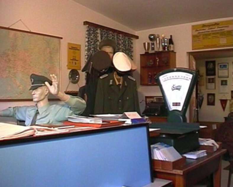
Follow the yellow disc via Kirchenstrasse, Prälat-Roth-Strasse, Zweibrückenstrasse, then turn left into Blieskastelstrasse. Just before the bridge on the left is the Customs Museum, which can be visited by appointment or every third Sunday of the month from 2 to 5 pm.
Cross the bridge of Europe, then at the end of the street turn left into the street of the church, then turn right into the street of the castle.
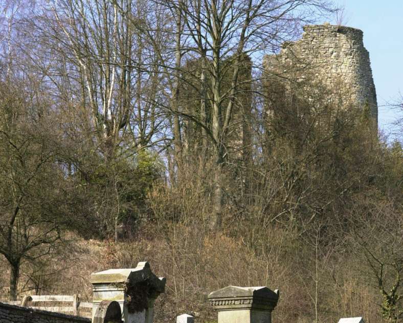
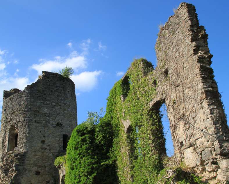
At the intersection of the two streets on the left is a small chapel. A small detour is necessary to the ruins of the Castle of Frauenberg 100 meters further. 500m from the circuit, along the D 82, there is also a Jewish cemetery.
Continue the hike by the rue des Rossignols, continue the ascent by a rural road to reach the water tower and the Wilherheide plateau where a 360° panorama is offered to you.
Continue on Folpersviller by a carriage road, then take on the right the street of Blies-Ebersing to return by the street of Folpersviller and the one of the school group to the starting point.
Departure point: parking lot of the Maison de Quartier de Folpersviller or the parking lot of the European Archaeological Park of Bliesbruck-Reinheim
Marking : yellow disc
Practical information
Fitness / outdoor trails from SARREGUEMINES, mode of transport / activity : Walking-related, on the theme(s) : Natural.
Features of the route
moderate
15 km and more
Round trip
Distance in kms : 20
Duration of the course : 05:30
Visit conditions
Visits
Signposted route
Groups accepted on reservation Coach parking available
Contact us
Val de Blies hiking trail
- cvs@club-vosgien-sarreguemines.com
- 06 78 83 81 19
- 57200 SARREGUEMINES
How to get there ?