Discover Moselle on foot or by bike with your smartphone!
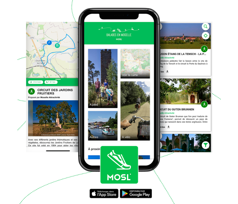
Balades en Moselle: Hiking App
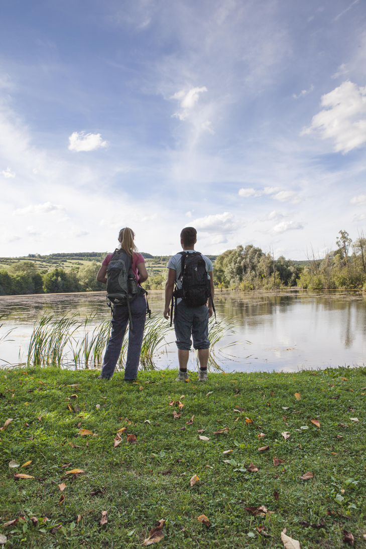
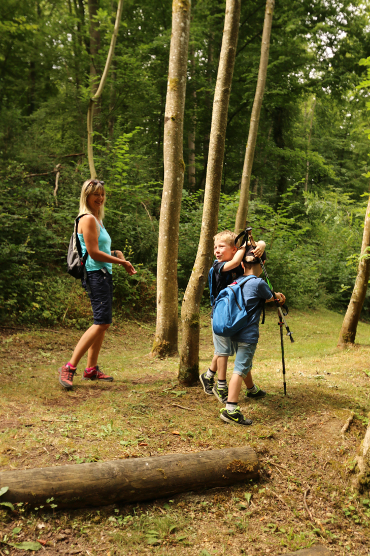
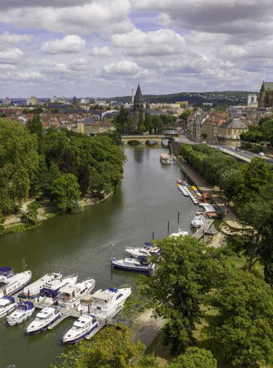
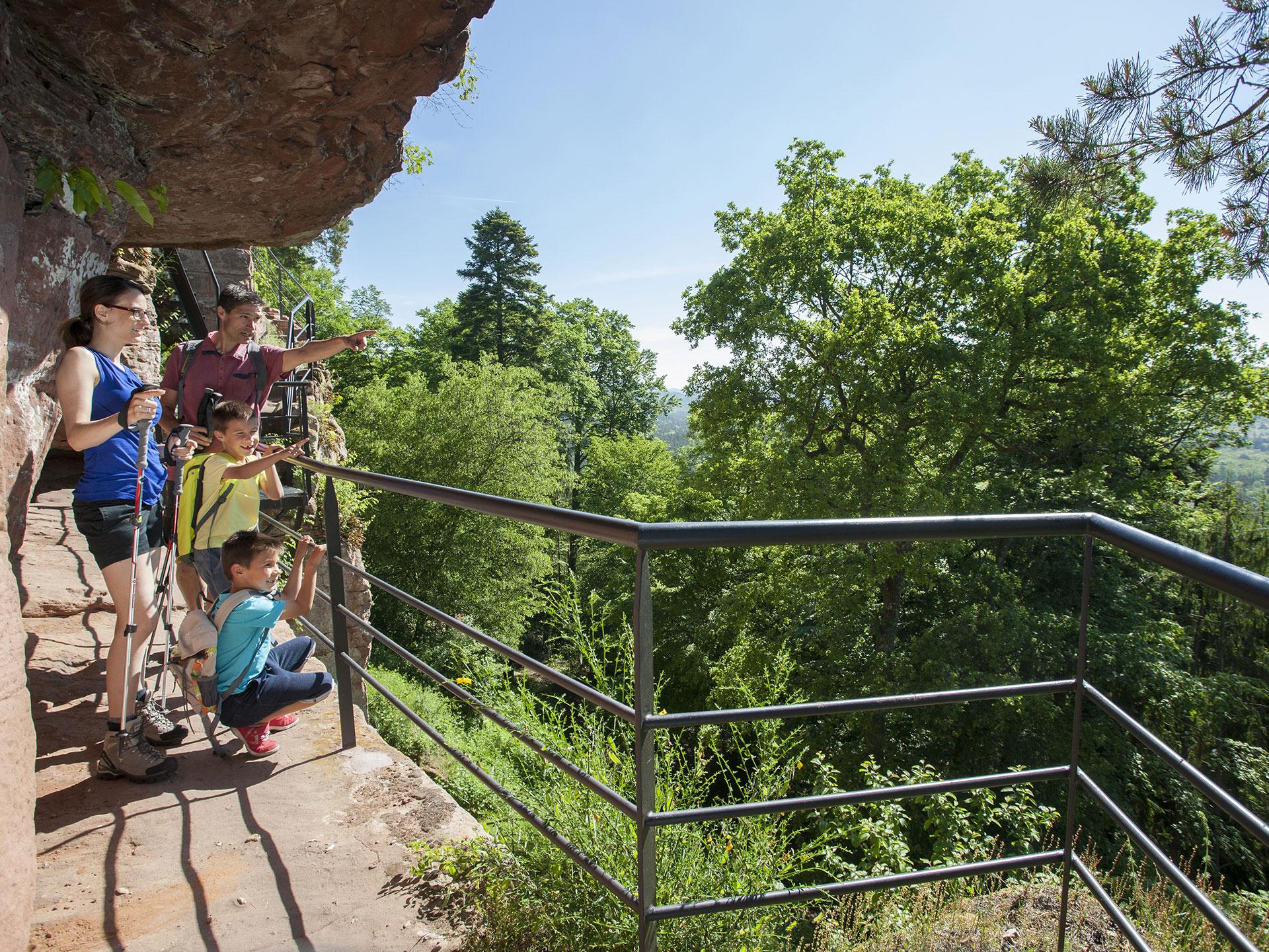
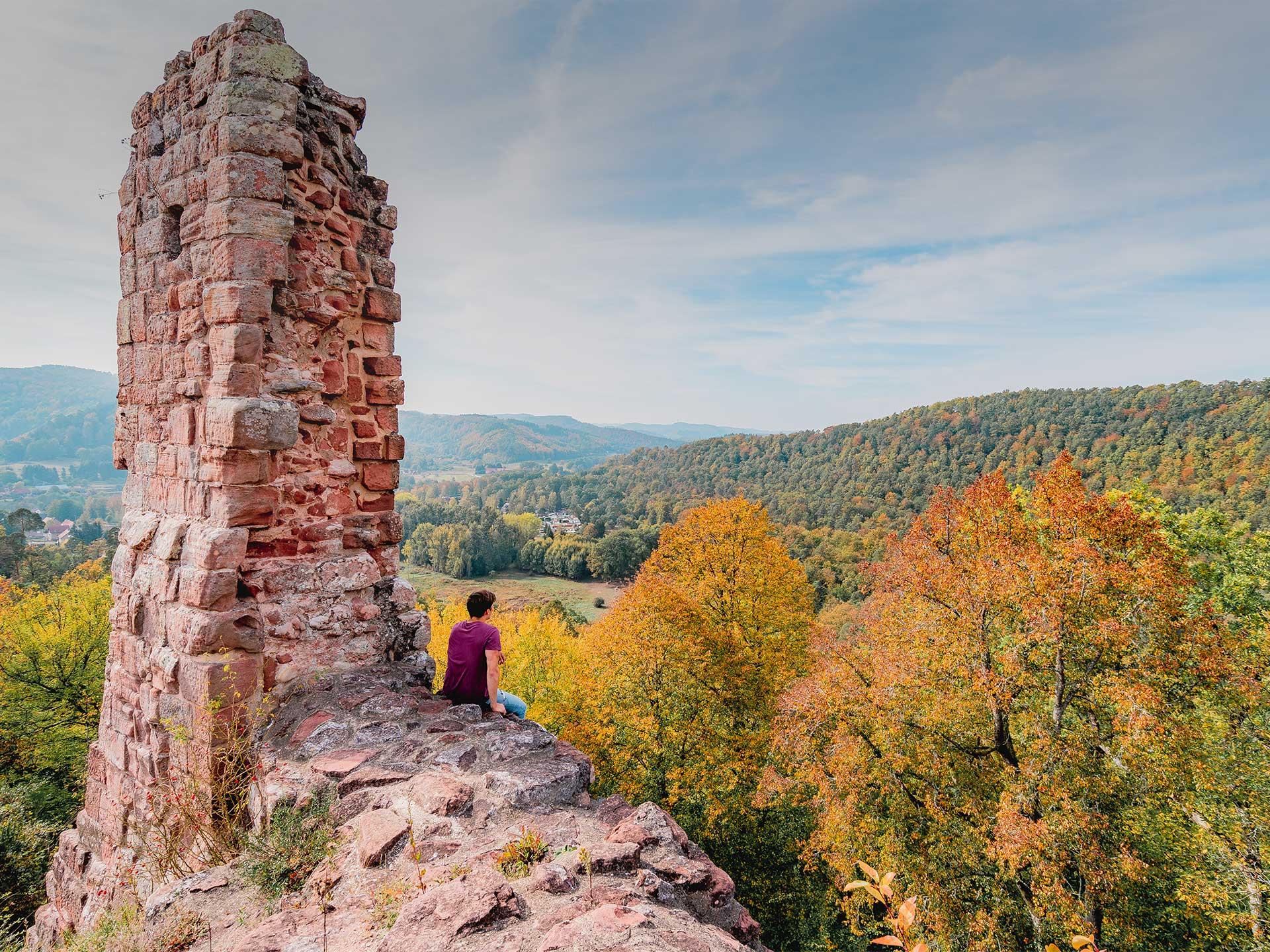
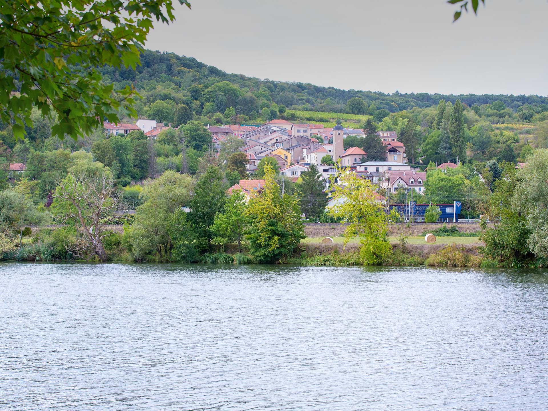
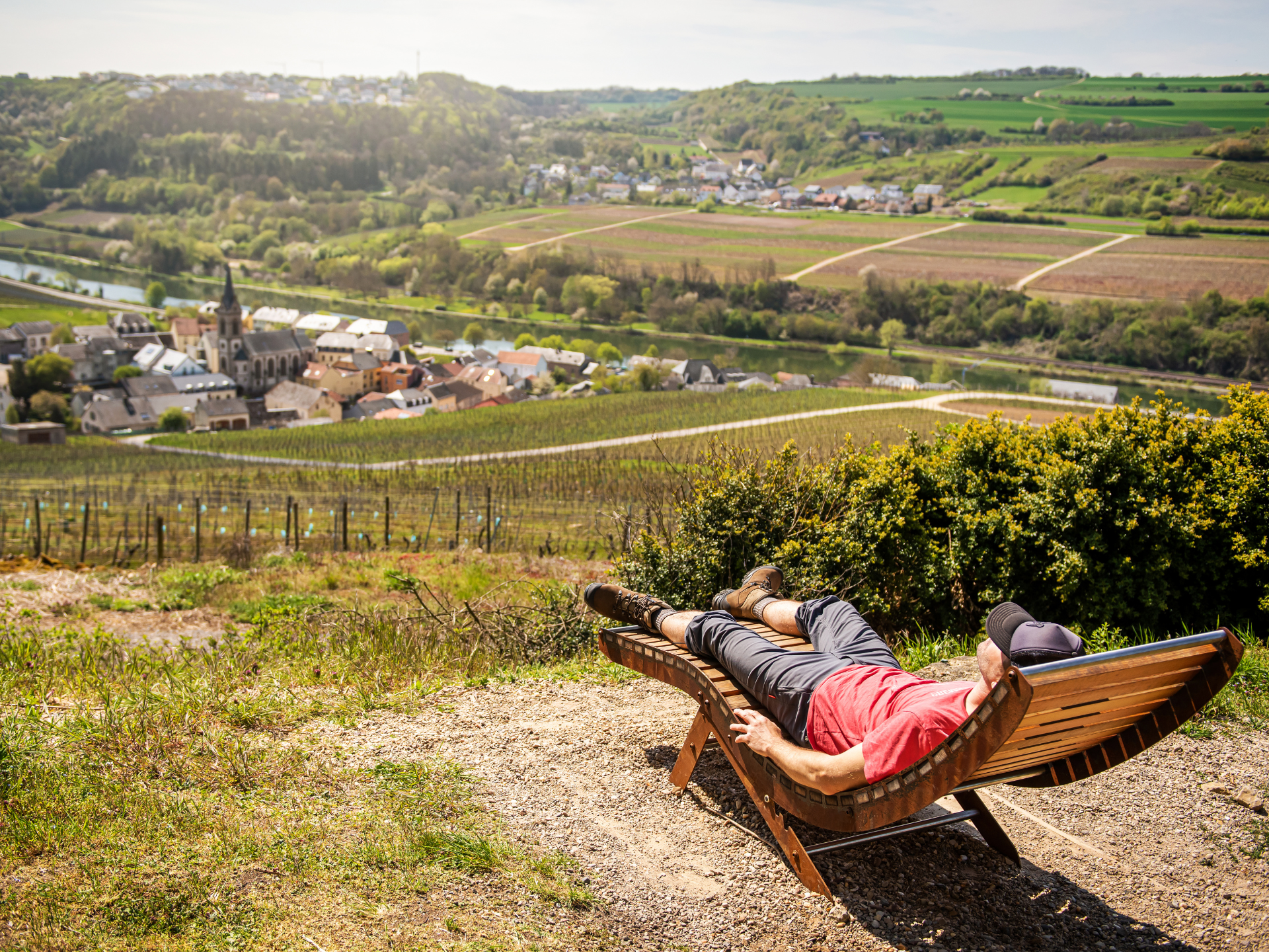
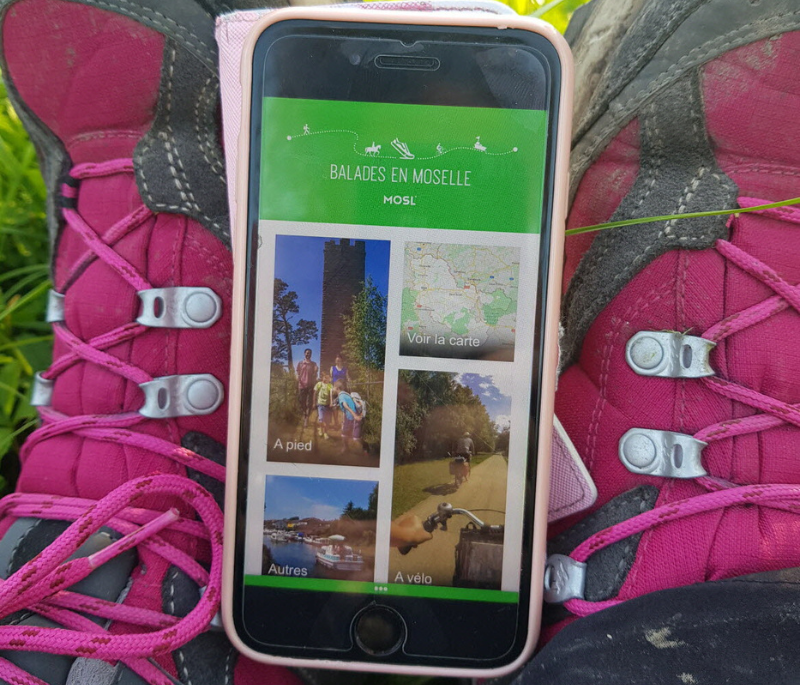
Nature lovers, beginners, or seasoned hikers – explore over 350 trails across Moselle’s stunning landscapes with the free “Balades en Moselle” app, available on the App Store and Google Play. The app guides you along the paths and highlights the best spots to take a break, grab a bite to eat, or simply enjoy the view.
An Interactive and Comprehensive Guide
Say goodbye to bulky maps! From your smartphone, access a wealth of information covering the entire Moselle region:
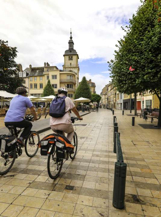
- Over 350 routes: hiking trails, cycling paths, greenways, and water circuits…
- Detailed profiles for each itinerary: distance, duration, difficulty, elevation gain, and altitude profile.
- Personalized recommendations: accommodations, restaurants, places to visit, and outdoor activities.
New to Moselle? The app also offers an introduction to the destination along with plenty of practical tips.
Play Mode: Your On-the-Go Companion
Once there, activate Play Mode: an interactive map with GPS tracking guides you throughout your route.
Main Features:
- Real-time tracking with automatic map rotation
- Alerts when approaching points of interest
- Progress monitoring: distance, duration, average speed
- Free mode to notify you as soon as you near a trail or a notable site
Easily Find Your Trail
From the home screen, explore the interactive map or search for a route based on your criteria: duration, difficulty, distance, activity type, or theme. A keyword search lets you find what you want even faster.
Whether you’re a nature lover, heritage enthusiast, cyclist, or solo walker, there’s a trail made just for you!
An App Accessible to Everyone
Free and bilingual (French/German), “Balades en Moselle” works both online and offline. Even deep in the forests or in areas without coverage, it stays by your side.
Part of a sustainable tourism approach, the app invites everyone to (re)discover Moselle gently, responsibly, and immersively.
Download the app now
The Balades en Moselle app is now available on all mobile platforms. Lace up your shoes, open the app, and set off to explore a region with a thousand trails.
![]()
![]()
Discover more